1 of 1 copy available
1 of 1 copy available
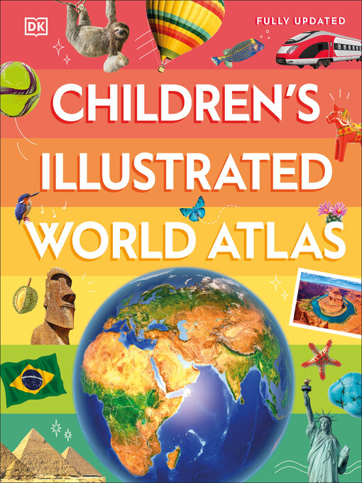
Children's Illustrated World Atlas is divided into six main sections, each devoted to a continent. Within each continent, a country or a region is explored in detail through stunning maps showcasing cities, towns, rivers, mountain ranges, and other geographical features.
Apart from the geography of a region, Children's Illustrated World Atlas also provides interesting information about the people, their traditions, politics, and economics through spectacular images and snippets of facts.
Take a trip around the world with Children's Illustrated World Atlas, from the majestic Himalayas to the Carnival of Venice. This colorful and comprehensive book is the perfect addition to every book shelf at home or school.
-
Creators
-
Series
-
Publisher
-
Release date
July 9, 2024 -
Formats
-
Kindle Book
-
OverDrive Read
- ISBN: 9780593849187
-
-
Languages
- English
subjects
Languages
- English
Loading
Why is availability limited?
×Availability can change throughout the month based on the library's budget. You can still place a hold on the title, and your hold will be automatically filled as soon as the title is available again.
The Kindle Book format for this title is not supported on:
×- - Kindle 1
- - Kindle 2
- - Kindle DX
- - Kindle Keyboard
- - Kindle 4
- - Kindle Touch
- - Kindle 5
- - Kindle Paperwhite
- - Kindle 7
- - Kindle Voyage
Read-along ebook
×The OverDrive Read format of this ebook has professional narration that plays while you read in your browser. Learn more here.